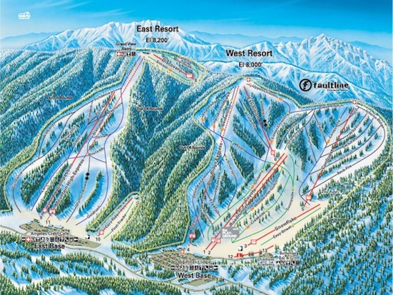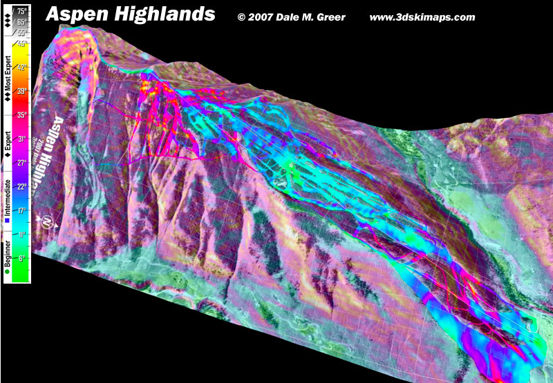
Wouldn’t life be easier if you could look at a trail map and actually see if a run is right for you? I mean, it isn’t always apparent; something you think is a downhill trail may actually go across the mountain. Or it could be much too steep for your ability. Wouldn’t it’d be nice to know before you commit?
Face it; the usual blue and black symbols just don’t always tell the story.
Here are two sites that can help:
Ski.com’s interactive 3D trail maps. and 3D Ski Maps.
Both can give you a better sense for the terrain than a flat, one-dimensional map, so you’ll have a better idea about what you’re getting in to, before you even get there.
Check ’em out.
Join The Ski Diva
Since 2006, we've been dedicated to providing a place where women can talk about skiing in a way that's comfortable and respectful.
Whether you're just getting started or ski 100 days per season, our community of thousands of women skiers can help you find the information you need.
Join the Community
Categories: Ski Resorts
Tags: Resorts